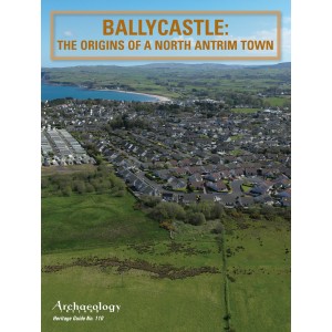
BALLYCASTLE: THE ORIGINS OF A NORTH ANTRIM TOWN.
The seaside town of Ballycastle (Baile Chaisleáin) is located in the civil parish of Ramoan and the barony of Cary, between Kinbane Head and Fair Head on the north Antrim coast at the point where the River Margy enters the sea. Rathlin Island and Islay lie to the north, six miles and 26 miles away respectively, and, although the waters can be treacherous, people have travelled between Antrim and Argyll since prehistoric times. By the early sixteenth century this part of north Antrim had been appropriated by the MacDonnell (Mac Domhnaill) lineage of Islay, the beach at Ballycastle no doubt an attractive landfall for their galleys. English documents of the late sixteenth century highlight the name ‘market town’ for the Ballycastle area, probably derived from ‘Margie Town’ and associated with the River Margy, a name which may derive in turn from the Irish margaigh, meaning a ‘boundary river’. By the eighteenth century, and with the now-established name of Ballycastle, the settlement comprised two separate units: the harbour (Port Brittas) on the seashore, and an urban centre—the Diamond—that had grown up around a MacDonnell castle, with the two sections linked by a road (the Quay Road) and some 800m apart . In this guide we explore the origins and early development of the modern town.
Heritage Guides are included free with Archaeology Ireland subscriptions. Or can be purchased vis this website @ €5 each.
| Details | |
| Author | |
| Publication Data | AUTUMN 2025 |
| Subjects | HERITAGE GUIDE No. 110 BALLYCASTLE: THE ORIGINS OF A NORTH ANTRIM TOWN. |
HERITAGE GUIDE No. 110
- ISBN: ISSN 0790-982X
- Availability: In Stock
-
€5.00
Tags: HERITAGE GUIDE No. 110

